|
|
|
Frances - Labor Day Weekend 2004
We want to thank you for again your prayers. Our lab made it through un harmed in any way. We had lost power during the hurricane and did not have power on Tuesday as well. We were able to open on Monday for full business to take care of our clients needs and be ready for any FEMA work that would be brought in. Our home had no additional damage as well how ever due to flooding in some areas there were a few roads closed.
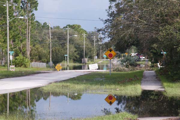
Here is a photo from a few blocks away from our home. This was taken after the water had receded for a few days. The highest level of flooding was about 30 feet closer to the spot the image was taken from. Oh yeah, this is a digital shot. Another reason to use film, I missed a perfect shot waiting for the camera to turn on. A sheriff 4WD truck had gone through the water and I missed the shot because of waiting for the camera. SO, another lesson as to why to USE FILM!!
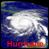
Here are a few items for those tracking the storm by request of many.
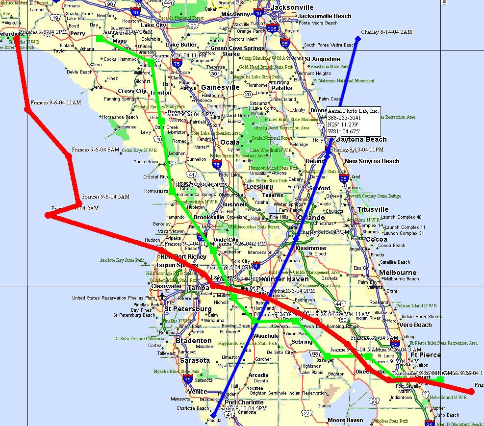
The image below shows the path of the hurricanes that have attacked the state of Florida in 2004. The Blue Line is Charley from Labor Day Weekend, the Red Line is Frances that hit September 4th to the 6th in the peninsula. The Black is Ivan which at the time of writing this is still to the south of the image. If you wish to see a larger image please click on the photo.
To Download a Street Atlas File for your computer click here.
First here is an image put up by SFWMD that shows the most current proposed tracks through FL:
and also this image may be quite helpful for a closer view: 
Also here is an image that a good friend of mine is working on to give you an idea of the path with a little more detail as well as winds. 
To see the current satellite images use the links below:
IR one can be seen at night but this may take a few minutes to open on dial up.
To go to APL weather page see the link to the left.
God Bless, Kevin
|


